
AdminView is a range of geographical administrative boundaries.
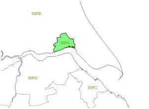
AdminView provides administrative boundaries for the UK. All these boundaries are created from Census 2001 data, and are based upon administrative areas, and built upon Output Area, which is the smallest unit of census data. The boundaries are joined to a detailed UK coastline.
For some marketing and planning applications administrative boundaries are the only building blocks fine enough to answer local questions. Output Areas and Super Output Areas are derived from census boundaries in England and Wales.
AdminView can also help to visualise data from the Office for National Statistics, General Registry Office and Northern Ireland Statisitcs and Research Agency.
Using Output Areas as a base the following boundaries are also available:
Super Output Areas
Wards
Local Authorities
Counties
Parliamentary Constituencies
Health Authorities
Primary Care Trusts (England and Wales only)
The make up of Administrative boundaries in the UK |
|||
|
Example |
Households |
Number in UK |
Output Area |
00BNFH0009 |
125 |
223,060 |
Ward |
Brooklands |
2,600 |
9,500 |
Authority |
Manchester |
63,500 |
400 |
(average figures) |
|||
AdminView Prices |
|
|
Single User |
Health Authorities and Primary Care Trusts |
£450 |
Wards, Local Authorities and Counties |
£700 |
Output Areas, Super Output Areas, Wards, Local Authorities and Counties |
£900 |
Prices quoted are for single user annual licence agreements. Please contact us for multi-user prices.
The boundaries are available in MapInfo and ESRI Shape format. Subsets of the UK are also available. Minimum order £250.
Please contact us for details and more information about AdminView.
Related Product
PostView Boundary dataset of UK postcodes